Vistvs insvla vulgo Viist ………
£250.00
Cartographer / Engraver: Timothy Pont
Medium / Size: Copperplate engraved map / c.455 x 590mm
Date: 1662
Cartographer / Engraver: Timothy Pont
Medium / Size: Copperplate engraved map / c.455 x 590mm
Date: 1662
Cartographer / Engraver: Timothy Pont
Medium / Size: Copperplate engraved map / c.455 x 590mm
Date: 1662
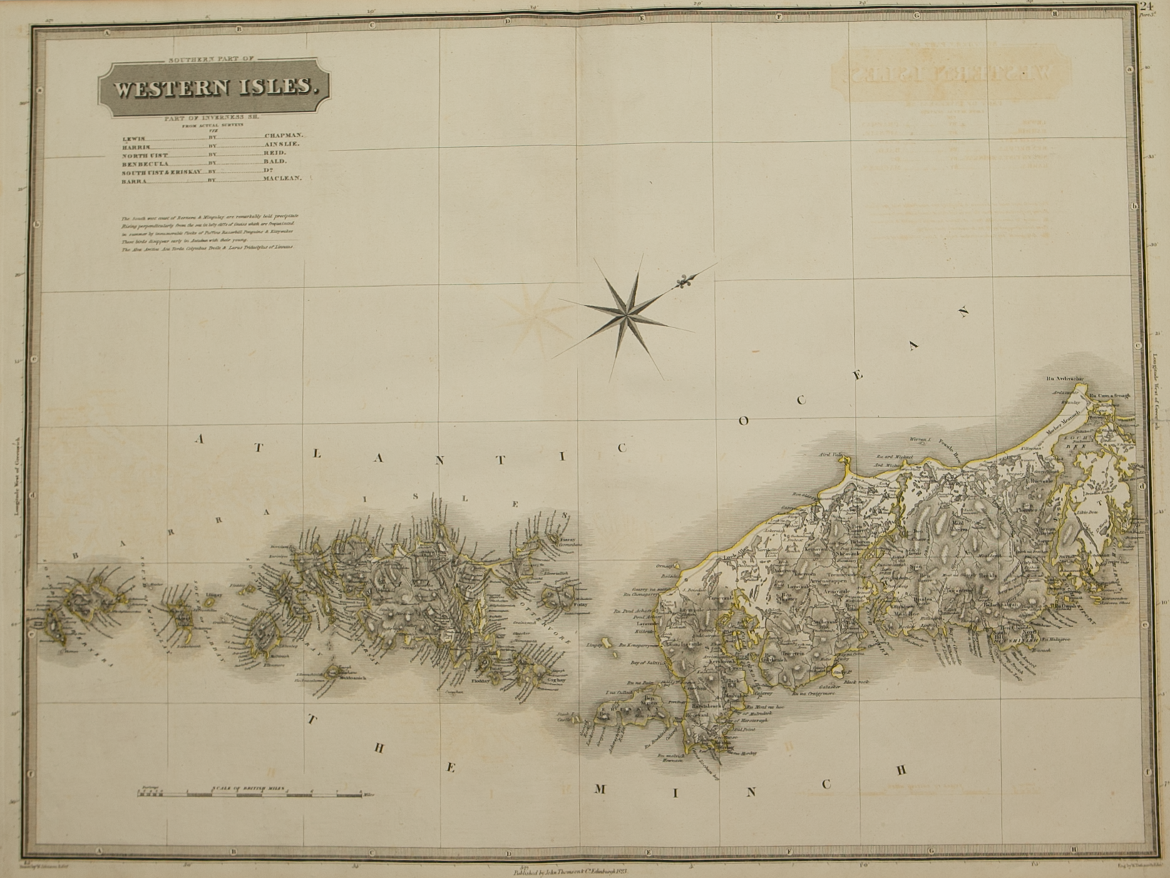
Brief Description: Southern part of the Outer Hebrides – map oriented with west at top; original colour; Latin text verso; attractive map with ships and compass roses decoration; excellent condition