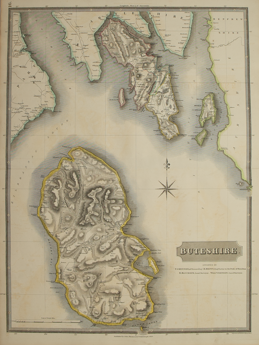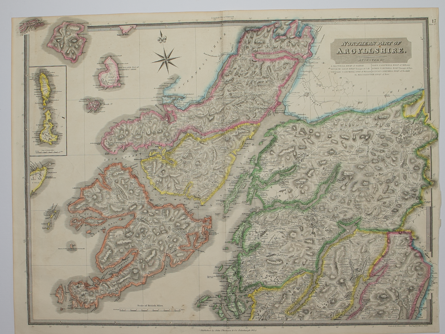

Northern and Southern parts of Argyllshire – published by John Thomson in his Atlas of Scotland
£275.00
Cartographer / Engraver: W. Johnston / J. & G. Menzies
Medium / Size: 2 x copperplate engraved maps / 1 sheet c.530 x 700mm; 1 sheet c.530 x 725mm
Date: 1824
Cartographer / Engraver: W. Johnston / J. & G. Menzies
Medium / Size: 2 x copperplate engraved maps / 1 sheet c.530 x 700mm; 1 sheet c.530 x 725mm
Date: 1824
Cartographer / Engraver: W. Johnston / J. & G. Menzies
Medium / Size: 2 x copperplate engraved maps / 1 sheet c.530 x 700mm; 1 sheet c.530 x 725mm
Date: 1824
Brief Description: County engraved on 2 large sheets; original outline colour; northern sheet right hand margin narrow but no loss of printed area; islands shown include Mull, Jura, Islay, Coll, Tiree, very good condition