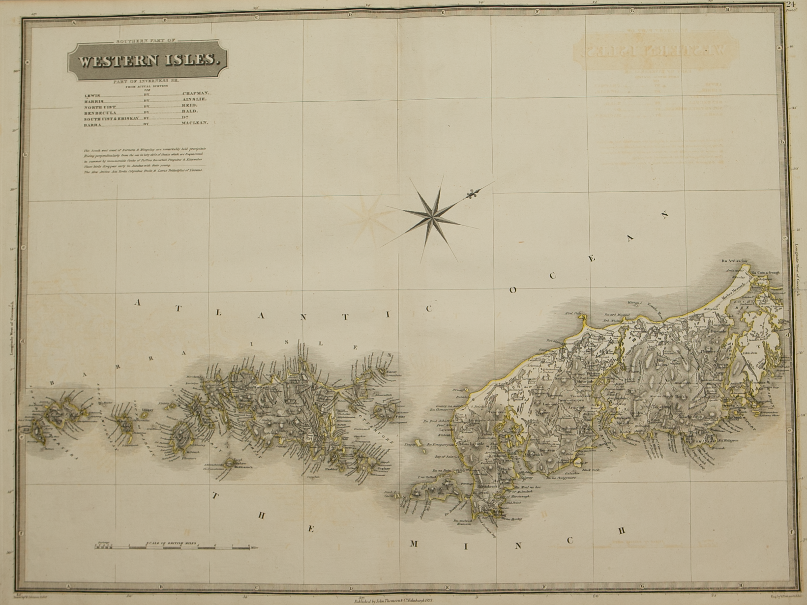
Sovtherlandia
£225.00
Cartographer / Engraver: Robert Gordon after Timothy Pont
Medium / Size: Copperplate engraved map / c.390 x 540mm
Date: 1662
Cartographer / Engraver: Robert Gordon after Timothy Pont
Medium / Size: Copperplate engraved map / c.390 x 540mm
Date: 1662
Cartographer / Engraver: Robert Gordon after Timothy Pont
Medium / Size: Copperplate engraved map / c.390 x 540mm
Date: 1662
Brief Description: Map includes part of Sutherland and bordering areas - primarily rural - major town shown is Dornoch at the northern tip of the Firth of Dornoch; original colour; Latin text verso; excellent condition


