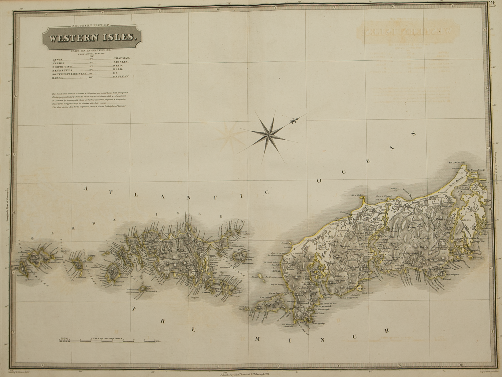
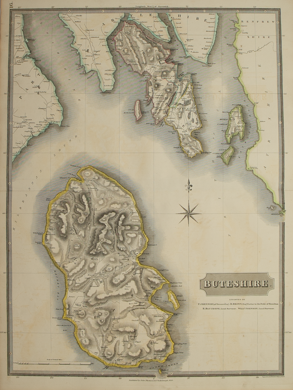
Northern and Middle part of the Western Isles – published by John Thomson in his Atlas of Scotland
£150.00
Cartographer / Engraver: Wm. Johnson, Edinburgh / W. Dassauville, Edinburgh
Medium / Size: copperplate engraved maps / both c.520 x 690mm
Date: 1822
Cartographer / Engraver: Wm. Johnson, Edinburgh / W. Dassauville, Edinburgh
Medium / Size: copperplate engraved maps / both c.520 x 690mm
Date: 1822
Cartographer / Engraver: Wm. Johnson, Edinburgh / W. Dassauville, Edinburgh
Medium / Size: copperplate engraved maps / both c.520 x 690mm
Date: 1822
Brief Description: Northern and middle parts of the Outer Hebrides, Isles of Lewis, Harris, North Uist and Benbecula; original outline colour; bottom margin of both maps trimmed but with no loss of map printed area, otherwise very good condition


