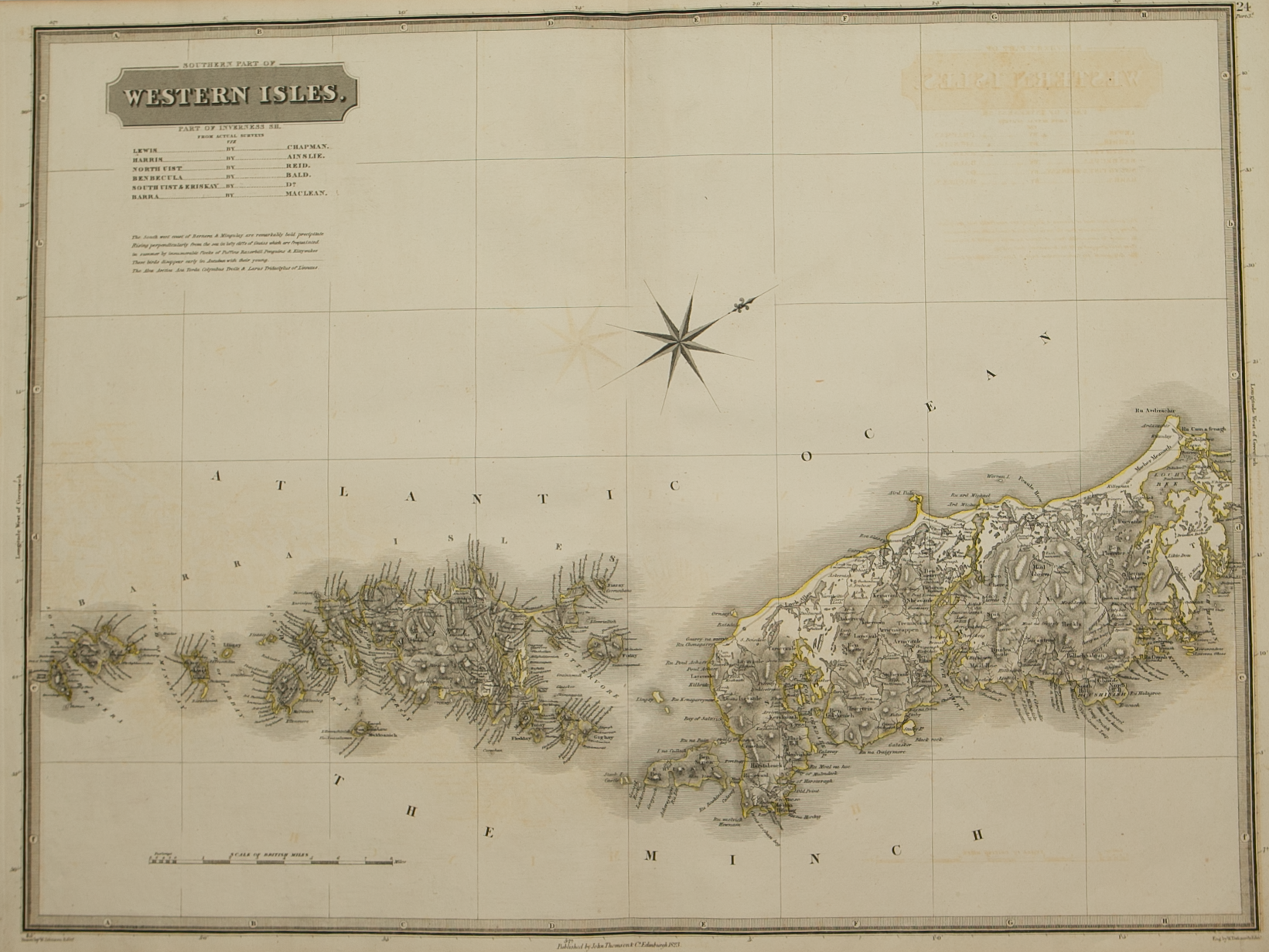
Mvla Insvla ……
£325.00
Cartographer / Engraver: Timothy Pont
Medium / Size: Copperplate engraved map / c.430 x 550mm
Date: 1654
Cartographer / Engraver: Timothy Pont
Medium / Size: Copperplate engraved map / c.430 x 550mm
Date: 1654
Cartographer / Engraver: Timothy Pont
Medium / Size: Copperplate engraved map / c.430 x 550mm
Date: 1654
Brief Description: Mull’s location is identified by its relationship to the Ardnamurchen Peninsula on the Scottish mainland; the Isles of Coll and Tiree are also shown; original colour; Dutch text verso;
Vertical printers crease c. 40mm from map centre-fold otherwise good condition


