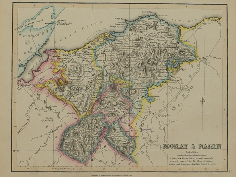
Dvo Vicecomitatvs Aberdonia & Banfia ………
£400.00
Cartographer / Engraver: Robert Gordon of Straloch
Medium / Size: Copperplate engraved map / c.435 x 570mm
Date: 1662
Quantity:
Cartographer / Engraver: Robert Gordon of Straloch
Medium / Size: Copperplate engraved map / c.435 x 570mm
Date: 1662
Cartographer / Engraver: Robert Gordon of Straloch
Medium / Size: Copperplate engraved map / c.435 x 570mm
Date: 1662
Brief Description: Primarily maps the counties of Aberdeenshire & Banffshire plus some coverage of adjacent counties; a very detailed map with an abundance of geographical information; the western boundary of the map is the River Spey & the Cairngorm Mountains; original colour; Latin text verso; good condition


