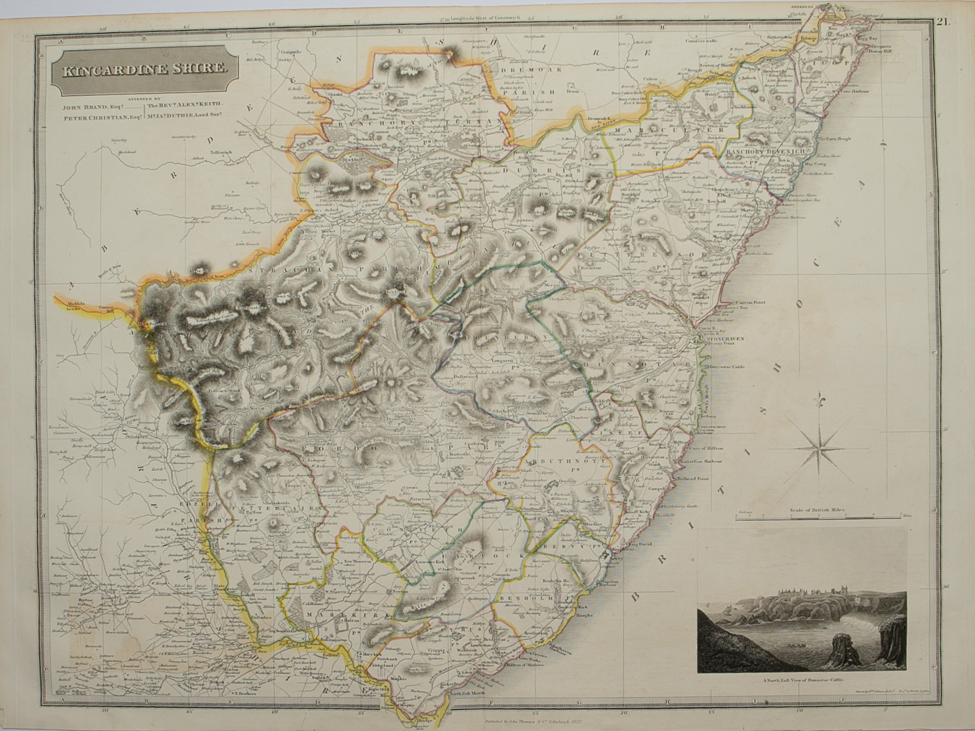
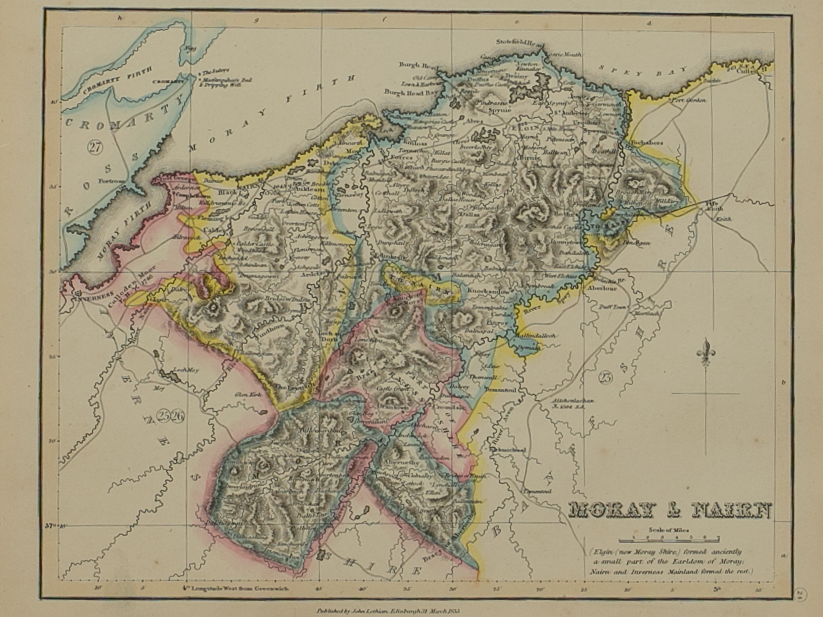
Nairn and Elgin – published by John Thomson in his Atlas of Scotland
£125.00
Cartographer / Engraver: Wm. Johnston / T. Clerk, Edinburgh
Medium / Size: copperplate engraved map / c.680 x 510mm
Date: 1830
Cartographer / Engraver: Wm. Johnston / T. Clerk, Edinburgh
Medium / Size: copperplate engraved map / c.680 x 510mm
Date: 1830
Cartographer / Engraver: Wm. Johnston / T. Clerk, Edinburgh
Medium / Size: copperplate engraved map / c.680 x 510mm
Date: 1830
Brief Description: Moray Firth coastline bordered by Banff-shire and Inverness-shire and its hinterland; original outline colour; very good condition