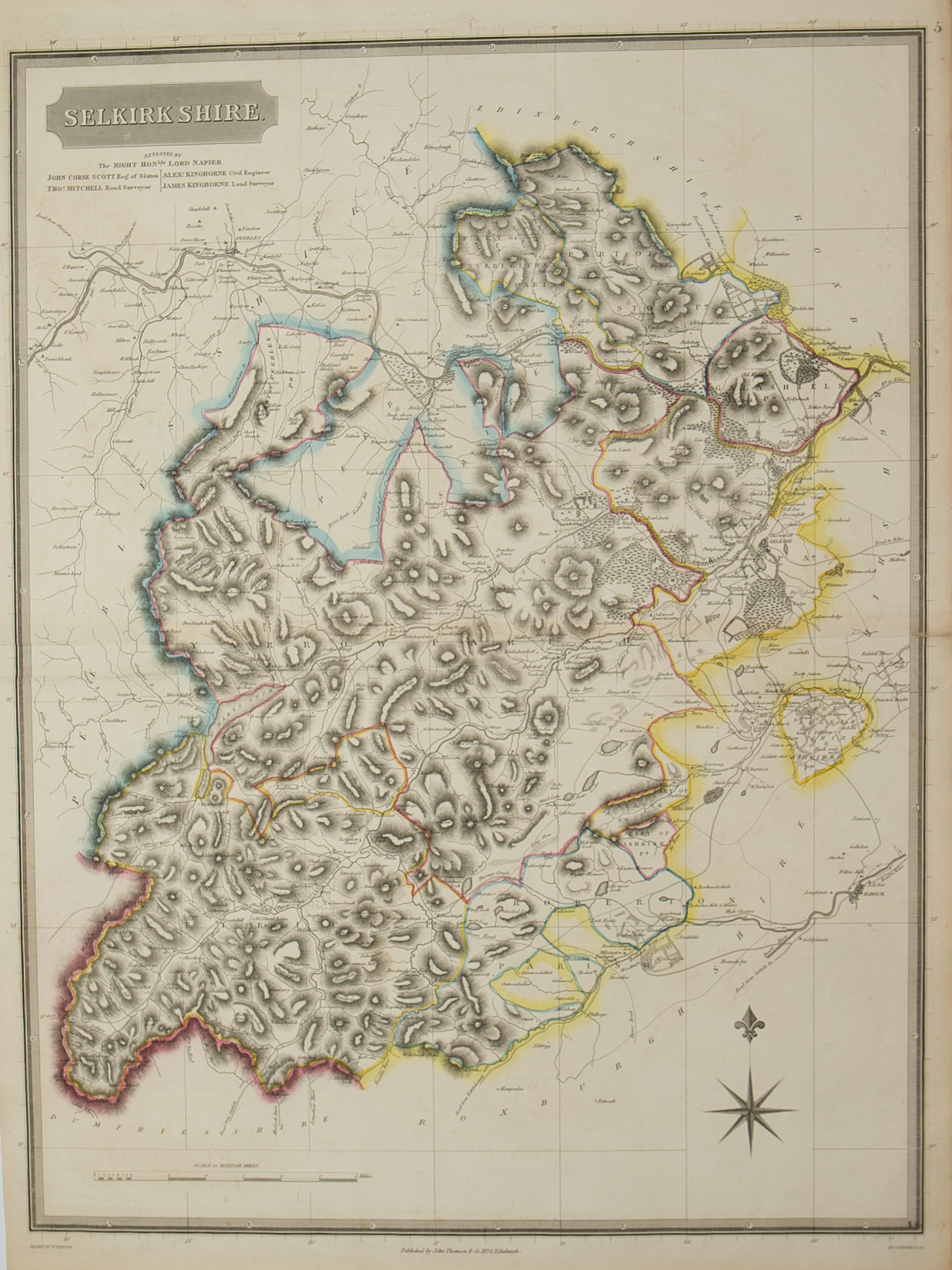
Selkirk-shire – published by John Thomson in his Atlas of Scotland
£125.00
Cartographer / Engraver: Wm. Johnston / E. Butterworth
Medium / Size: copperplate engraved map / c.668 x 520mm
Date: 1824
Cartographer / Engraver: Wm. Johnston / E. Butterworth
Medium / Size: copperplate engraved map / c.668 x 520mm
Date: 1824
Cartographer / Engraver: Wm. Johnston / E. Butterworth
Medium / Size: copperplate engraved map / c.668 x 520mm
Date: 1824
Brief Description: Map dominated by the valleys of the River Tweed, Yarrow Water and Ettrick Water which traverse west to east across the county; original outline colour; very good condition