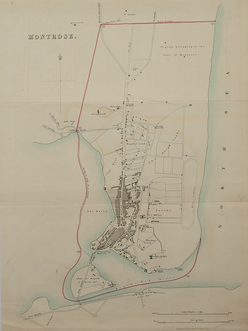
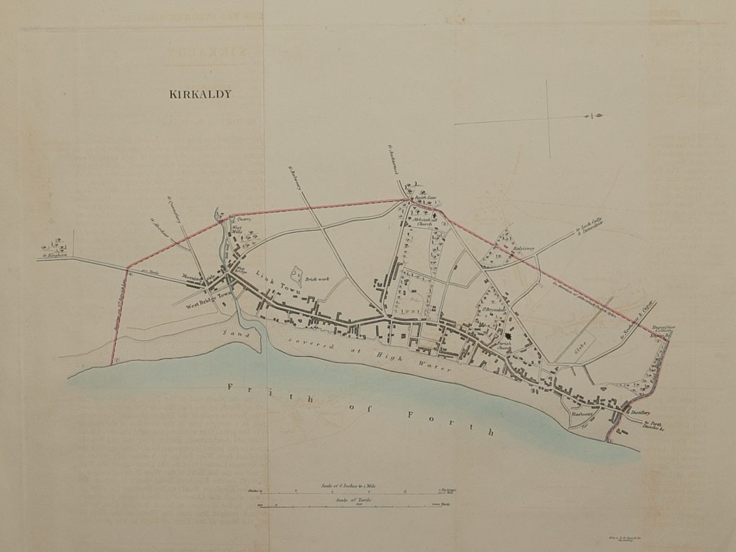
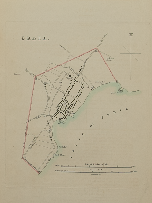
Plan of the Town of Forfar from actual survey by John Wood in 1822
£60.00
Cartographer / Engraver: John Wood / T. Clerk
Medium / Size: copperplate engraved plan / c.425 x 495mm
Date: 1822
Cartographer / Engraver: John Wood / T. Clerk
Medium / Size: copperplate engraved plan / c.425 x 495mm
Date: 1822
Cartographer / Engraver: John Wood / T. Clerk
Medium / Size: copperplate engraved plan / c.425 x 495mm
Date: 1822
Brief Description: Plan is 1 of 48 town plans issued in John Wood’s “Town Atlas of Scotland” published in 1828; main roads lightly tinted; very good condition