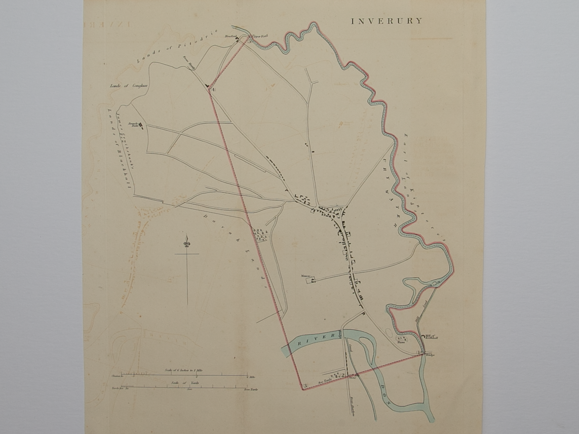

Plan of Inverury
£40.00
Cartographer / Engraver: ----- / -----
Medium / Size: copperplate engraved plan / c.345 x 265mm
Date: 1832
Cartographer / Engraver: ----- / -----
Medium / Size: copperplate engraved plan / c.345 x 265mm
Date: 1832
Cartographer / Engraver: ----- / -----
Medium / Size: copperplate engraved plan / c.345 x 265mm
Date: 1832
Brief Description: Slight offsetting of image present on plan; Boundaries Report document included with plan; folding item; good condition